
Downloads
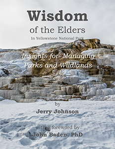
PDFWisdom of the Elders in Yellowstone National Park: Insights for Managing Parks and Wildlands
Foundation for Research on Economics and the Environment
Synopsis
A sign near Blunt, South Dakota tells you you’ve reached the 100th Meridian – a mythical line of longitude 100 degrees and half a world away west of Greenwich, England. The line runs north and south through the Dakotas, Nebraska, Kansas, the panhandle of Oklahoma, and through the middle of Texas. To geographers it is an expression of east or west. To the west, the climate is characterized by semi-arid or arid lands. Generally speaking, to the east, the land receives warm moisture from the Gulf of Mexico, and as a result, the lands there are productive without supplemental irrigation. To westerners it is an almost perfect demarcation of their lifestyle where the well-watered prairies give way to high plains almost within sight of the Rocky Mountains; and in their rain shadow. This is a land of large rivers and large dams, wide open spaces and barbed wire. The explorer John Wesley Powell noted the geographic demarcation and suggested in 1876 in his report to Congress that the region was not fit for agriculture due to the lack of water. Further, state boundaries, if there were to be any, should follow watersheds rather than political maneuvering that favored parochial agendas. Congress and the railroads disagreed and continued to pass Homestead Acts up through 1909. The 100th meridian is where the west begins.
More from the catalog

The Economics of Information
October 1, 2026

La société du commerce
December 25, 2021

Catalogul Organizațiilor Internaționale
October 1, 2024

Économie des affaires
September 28, 2026